I've been searching for a
certain setting for some of my imagined photos for quite a while. Jt can chime in here and confirm, I've been a tad obsessive about the idea. As we drive past farm steads and rolling hills and even nooks between highway interchanges, I look for places where the land meets the sky. Seems silly, but here in western PA, it's rare to see them together without trees, buildings, trees, rows of corn, trees, power lines and mostly trees. I love me my trees, but, I just can't get above the tree line.
I even put a call out on Facebook to those in my area, asking if anyone knew of such a place nearby. Apparently my definition of 'nearby' is different than other people's because the closest suggestion was no less than 60 miles away.
Well.
This week, the boys and I
went to tour Ft. Ligonier, built by General Forbes during the French and
Indian War, which happens to be in the Laurel Highlands, which happens to be in the mountains, which happen to be above the treeline. Yay! (Which also happens to be in the same area as my Facebook friend had recommended.) So there I was, and there was my space.
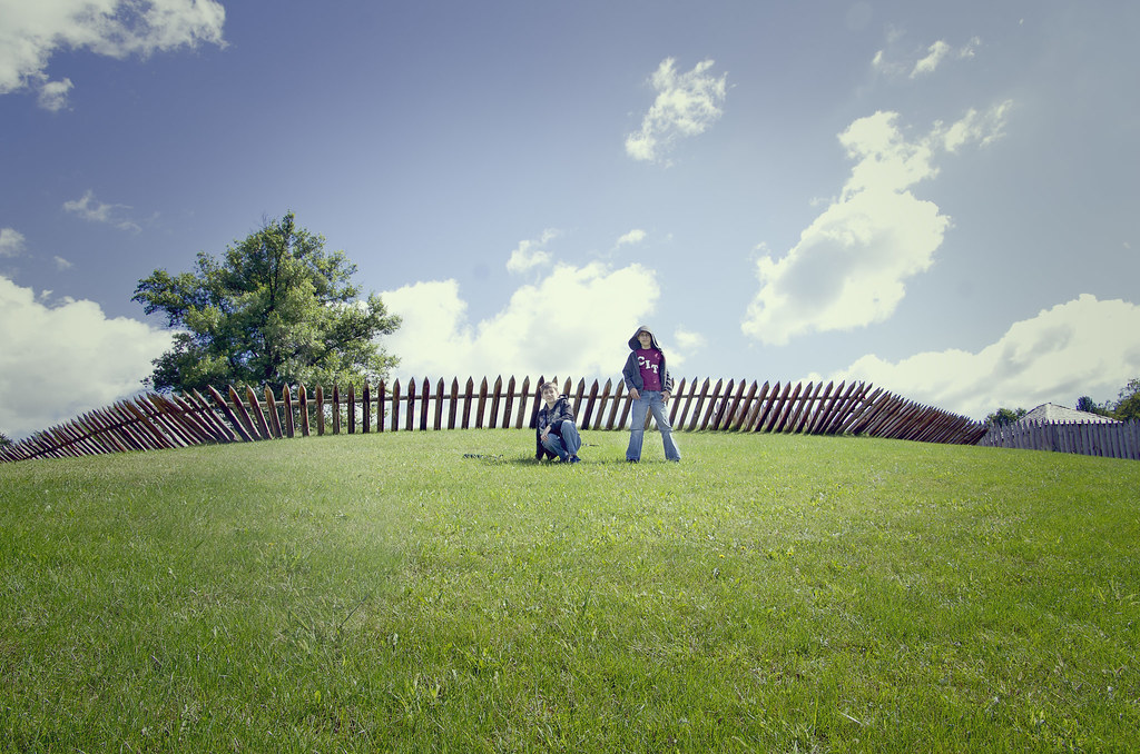
As predicted and as I said over and over to Jt as I looked for this setting: once I found it I wasn't at all prepared to do the shots I wanted, either in terms of time or the boys' outfits or even mentally. But, I was happy with the "top o' the world" feeling that I was able to get here.
No comments:
Post a Comment
Thanks for visiting my blog. I'd love to hear your comments on my photography. I see this as a learning tool, so constructive criticism is welcome.